

GPS Accuracy: What does it mean and how do we achieve it?
written by: Jake Keilman - April 5, 2022

One of our key design objectives for the Atlas is highly accurate, responsive GPS measurements of speed and position. Why does this matter, and how do we achieve it?
Accurate GPS measurements are needed all over the racetrack, but they are critical at the start, where a distance-to-line (DTL) measurement off by even a few meters can mean the difference between a race-winning start and a OCS or BFD. Existing distance-to-line tools struggle to deliver the required level of accuracy, a frustration that is sometimes expressed loudly during a start sequence.
So why do existing instruments struggle with DTL?
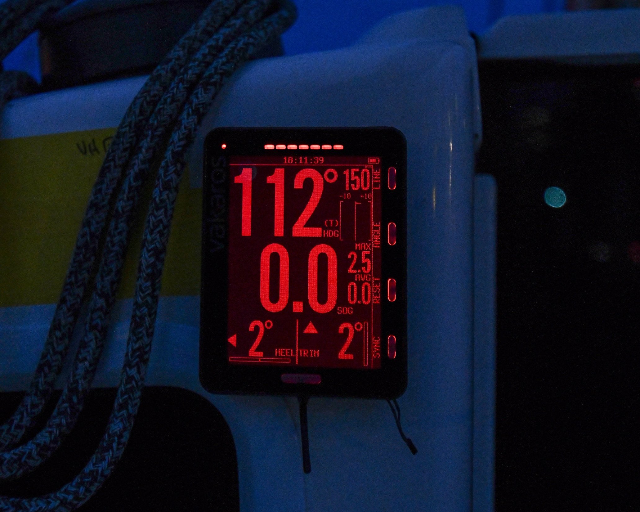
Measuring DTL requires knowledge of three points in space--the RC boat, the pin, and the bow of your boat. Error in any of these measurements contributes to the inaccuracy in the resulting distance to line measurement.
The locations of the pin and RC boat are typically recorded by sailing past and pinging them before or during the start sequence. For this to be accurate, the instrument must know the current position of the boat at the moment the button is pressed. Unfortunately, most existing GPS instruments only update their position at 1-2 Hz (once or twice a second), which, when combined with the averaging used to reduce GPS noise, means that the instrument may be seconds behind the actual position of the boat. This is why these types of instruments ask you to sail slowly when pinging the start line, to reduce the position error.
Once the starting line locations are recorded, calculating DTL requires measuring current position and heading. The instrument is typically located at the mast or in the cockpit, but the distance must be calculated from the bow, so it is essential to know what direction the boat is pointed. Many existing DTL instruments do not have a magnetic compass, but instead rely on GPS course over ground (COG) to measure heading. COG is determined from 2 or more position fixes, and thus is always behind reality. This limitation is especially apparent on a slow update rate GPS, or during dynamic maneuvers, as is common during a start sequence.
Taken together, these issues can easily contribute 10+ meters of inaccuracy to a DTL measurement--clearly not good enough in a competitive fleet. So how does the Atlas achieve accurate DTL?
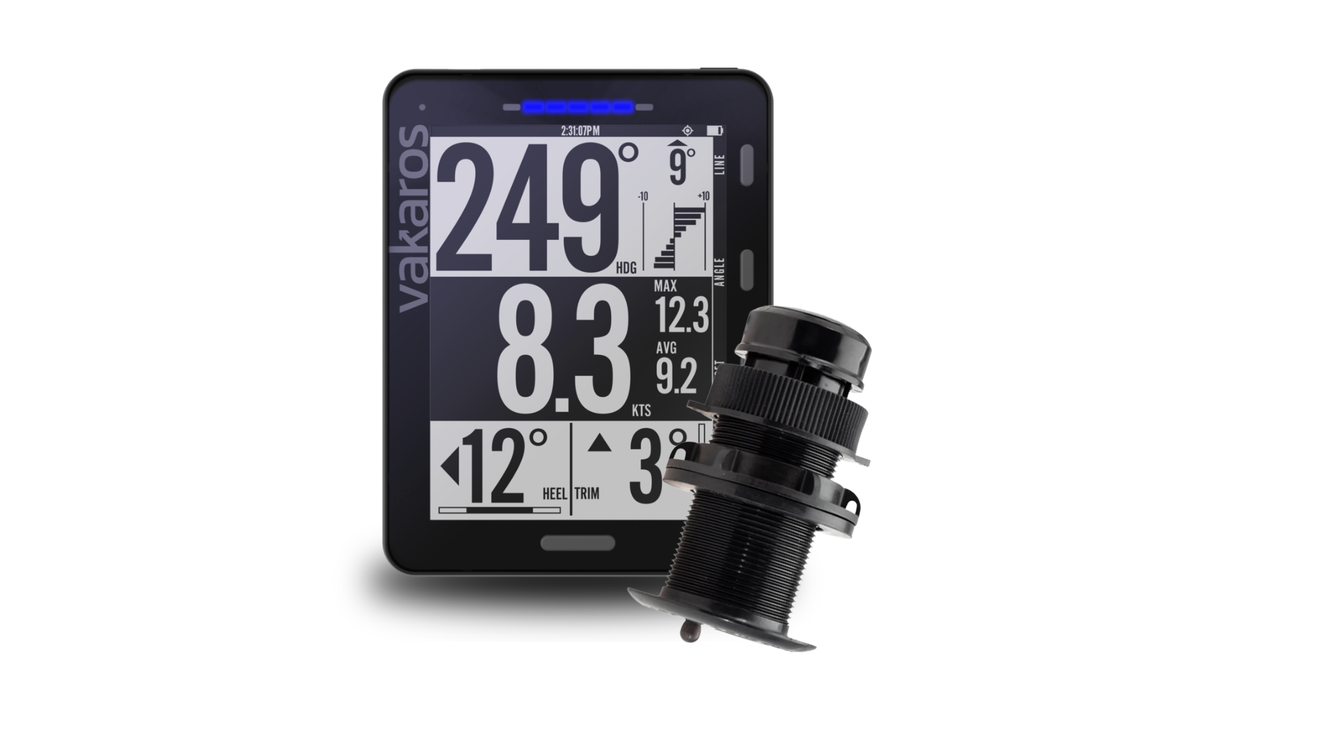
We started by tackling the two obvious issues with existing instruments--slow GPS update rates and the lack of a magnetic compass. The GPS in the Atlas updates at 18 Hz, 9 times faster than most existing DTL instruments. The Atlas also includes a high accuracy 3-axis magnetometer, for precise, real-time measurement of heading. To further enhance the performance, we added a 6-axis inertial measurement unit (IMU), which measures linear and rotational accelerations. The data from all of these sensors is combined using an advanced sensor fusion algorithm to reduce noise and maximize responsiveness, allowing the Atlas to accurately measure position, velocity and heading, no matter how fast the boat is moving or how rapidly it is turning. The end result: the best distance to line tool on the water. Period.